The Tallest Waterfall on Earth Is 3.5 Kilometers High and You Have Never Seen It
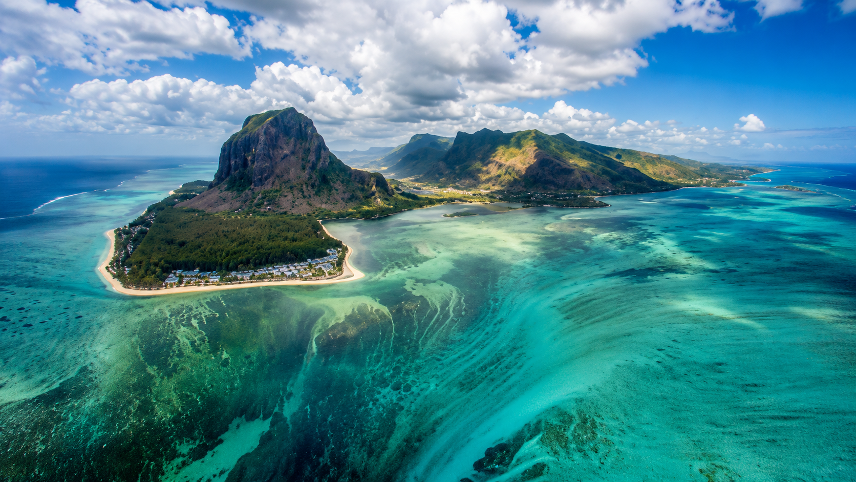
Illustration by Domi Verse X
In the Denmark Strait, cold water pours downward in a hidden cascade.
This article contains affiliate links. If you buy through them, we may earn a small commission at no extra cost to you.
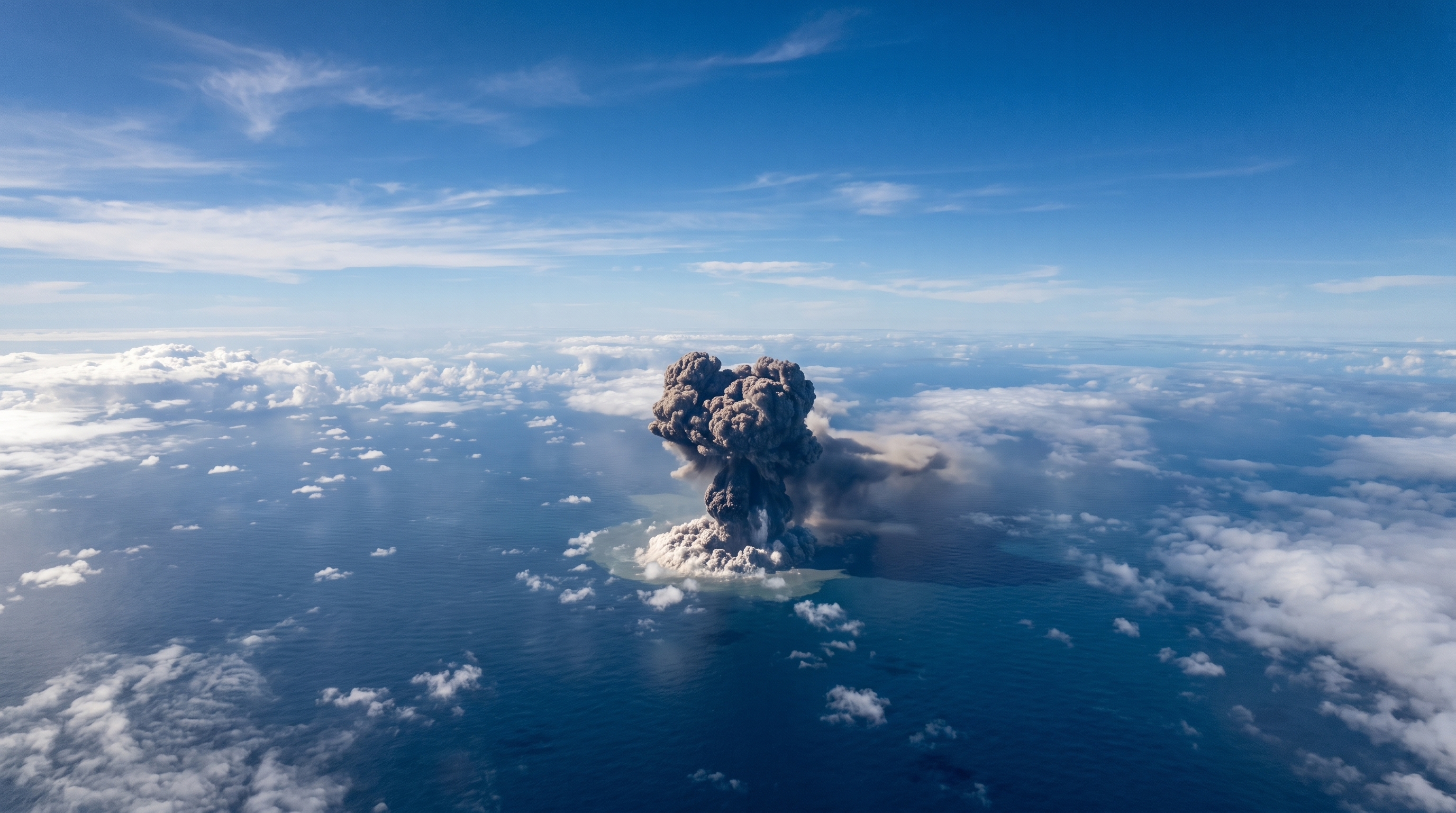
Between Iceland and Greenland, in a stretch of ocean sailors have crossed for centuries, there is a waterfall taller than anything on land, and completely invisible from the surface. It carries millions of cubic meters of water every second, which IFLScience compares to nearly 2,000 Niagara Falls running at once. Nobody knew it existed until 1989.
The Photo You Have Seen Is Not This Waterfall
Search for the world's largest underwater waterfall and you will get the same picture over and over: a green island in a turquoise lagoon, with what looks like an enormous drain pulling the sea down beside it. That photo is real, but it is not the Denmark Strait cataract, which is the waterfall this article is about. It is Le Morne Brabant, on the southwest coast of Mauritius, roughly 12,000 kilometers away in the Indian Ocean, and it is not a waterfall at all. What you are seeing is sand and silt being pushed off the edge of a shallow shelf by currents, tumbling into a drop of about 4,000 meters. The colors do the rest: bright turquoise where sunlight reaches the shallows, near-black where it does not. Put the two places side by side on a map of the world's ocean floor and they are not even in the same hemisphere.
So the most photographed underwater waterfall on the internet is an optical illusion in the wrong ocean, while the actual largest one is not something a camera can capture at all. It is measured and modeled rather than seen.
It Does Not Start Where You Think
Here is the part most people get wrong. The Denmark Strait cataract is usually described as three and a half kilometers high, and that number is correct, but it does not mean the waterfall sits three and a half kilometers down. It means the bottom is that deep.
The top is much closer to the surface than you would guess. Cold, dense water flowing south from the Nordic Seas meets warmer water from the Irminger Sea, and because cold seawater is heavier than warm seawater, a difference small enough that you need a salinity hydrometer to see it in a glass, the cold layer slides underneath instead of mixing. It spills over an undersea ridge roughly 600 meters below the surface, which is probably shallower than you would expect, and gravity takes it down the Greenland continental slope from there.
Where it ends up depends on which number you want. NOAA and Guinness World Records both give the height as about 11,500 feet, roughly 3,500 meters, measured from the top of the ridge down to the seafloor. That is the figure that makes it the tallest waterfall on Earth, and more than three times the height of Angel Falls in Venezuela.
But the water does not fall that whole way through open water. Live Science puts the actively falling section at around 2,000 meters, because below that the cold water lands in a deep pool of cold water that fills the rest of the slope. Measured that way it is roughly double Angel Falls rather than triple. Both numbers get quoted, and neither is wrong. They are measuring different things, which is worth knowing before you argue with someone about it in a comment section.
A Waterfall With No Cliff
It also does not look like a waterfall. There is no cliff, no visible edge, and nothing that plunges. Marine geologist Mike Clare has said that if you could visualize it directly, it would look more like a low-gradient slope than a dramatic plunge. The water moves at roughly half a meter per second, compared with about 11 meters per second in the rapids above Niagara Falls.
The shape of the flow is mostly estimated rather than directly measured, and the numbers depend on who you ask. Wikipedia's entry on the Denmark Strait overflow puts the descending column of water at approximately 200 meters thick, and says it keeps moving down the slope for something close to 1,000 kilometers before it settles into the deep Atlantic. Live Science gives a smaller figure for a possibly different thing, describing the seabed as dropping away over a length of roughly 500 to 600 kilometers. The two may not be measuring the same stretch, so both are best treated as educated approximations rather than settled numbers.
Enjoying this story?
Get a short teaser by email whenever we publish something new. No spam.
The volume is where it stops being comparable to anything. Guinness World Records and IFLScience put the flow at around five million cubic meters of water per second. NOAA and several other sources put it closer to 3.5 million. Even at the lower figure it is one of the largest single movements of water on the planet, and it happens without a splash anyone could see.
Hidden in Plain Sight for Centuries
Ships have sailed the Denmark Strait for hundreds of years, and none of their crews knew what was happening beneath them. Oceanographer Helen Czerski described it plainly in a 2020 lecture at the Royal Institution: sailors crossing from Iceland to Greenland for centuries never knew this enormous waterfall existed beneath them.
It was not confirmed and measured until 1989, when oceanographers were finally able to map the strait's underwater terrain and currents in detail. Even now there is no way to stand and watch it. Scientists study it with instruments anchored to the seafloor for months at a time, moorings that measure temperature, salinity, and current speed as the cold water slides past. Earth's own rotation bends the flow sideways as it descends, through the Coriolis effect, the same force that curves hurricanes and ocean currents worldwide.
Why It Matters Far From the Arctic
This is not just a curiosity buried under the ocean. The cold, dense water pouring through the Denmark Strait feeds the deep ocean currents that move heat around the planet, sometimes called the ocean conveyor belt. A 2020 study in the Journal of Physical Oceanography describes the Denmark Strait overflow as the largest single contributor to the deep, southward-flowing limb of that circulation. That circulation plays a role in keeping parts of Europe milder than other regions at similar latitudes.
Marine geoscientist David Amblàs, of the University of Barcelona, has compared the poles to the heart of the ocean's circulatory system, pumping cold, dense water into oceanic troughs that then spreads through the deep sea. The Denmark Strait cataract is one of the biggest single pumps in that system.
A Waterfall That Could Be Shrinking
There is a reason scientists are watching this one closely, and it is not a happy one. Underwater waterfalls elsewhere already look like they are weakening. On the Catalan coast, Professor Anna Sanchez-Vidal of the University of Barcelona has linked a drop in the number of winter tramontana wind days in the Gulf of Lion to a weakening of the same kind of dense-water process, one she describes as decisive for regulating the climate and important for deep-sea ecosystems. That is a different sea and a far smaller system than the Denmark Strait, but the physics behind it is the same.
If global warming keeps reducing how much cold, dense water forms in the Nordic Seas, and keeps adding more freshwater to the mix, the flow over the Denmark Strait cataract could slow down too. Nobody can say yet exactly how much, or how fast, and that uncertainty is itself part of the story. A waterfall bigger than anything on land went undetected for as long as humans have sailed over it, and now the same forces that finally revealed it may be the ones reshaping it.
Sources
- Live Science: Denmark Strait cataract: The world's largest waterfall, hidden underwater and unlike any other on land
- NOAA Ocean Service: Where is Earth's Largest Waterfall?
- Guinness World Records: Highest underwater waterfall
- IFLScience: The World's Largest Waterfall Is Actually Underwater
- ScienceBlog: The world's tallest waterfall is not Angel Falls
- The Travel: To See The World's Tallest Waterfall, You'd Actually Need To Scuba Dive The Denmark Strait
- EarthSky: Where is the largest waterfall on Earth?
- Discover Wildlife: Denmark Strait cataract
- Wikipedia: Denmark Strait overflow
- HowStuffWorks: The World's Largest Waterfall Is Deep Underwater
- University of Barcelona: An oceanographic campaign led by the UB will study the largest underwater waterfall in the world, in the Atlantic Ocean
- Niagara Parks: Niagara Falls Geology Facts & Figures
- My Mauritius Guide: Underwater waterfall in Mauritius
- TravelAwaits: Visit the Amazing Mauritius Underwater Waterfall
- Villanovo: Marvel at the Mauritius Underwater Waterfall Illusion