A volcano erupted for 25 hours, and when the ash cleared the map was wrong
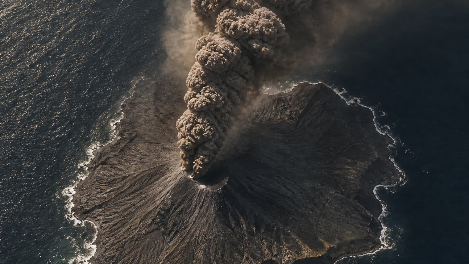
Illustration generated with AI for DomiVerseX
In September 2026 an island volcano in Indonesia would not stop erupting. What satellites found in the sea afterwards has officials choosing their words very carefully.
This article contains affiliate links. If you buy through them, we may earn a small commission at no extra cost to you.
A map is a kind of promise. It says the land will be where the drawing puts it. In September 2026 a small volcanic island in Indonesia broke that promise. Its name is Anak Krakatau, and it stands in the sea in the Sunda Strait.
From 4 to 6 September 2026 it erupted without a break. Indonesia's Geological Agency put the length at 25 hours. That is a whole day and a whole night, plus one more hour. NASA, which watched from space, wrote "more than 24 hours". The two fit together.
This article was written on 12 October 2026, and the story was not finished then. So every fact below comes with its date. If you read this much later, some of it could have changed.
A cloud higher than Mount Everest
The ash rose to about 15,000 meters, NASA reported, citing the Indonesian agency BMKG. Picture Mount Everest, and then put most of a second Everest on top of it. The cloud drifted west of the volcano, and ash fell on the city of Jakarta and on parts of West Java.
The ash stopped planes from flying. Eight airports closed. Nearly 3,000 flights were disrupted, according to NASA. If one plane took off every minute, day and night, it would take about two days to send that many into the air. The news agency AFP counted more than 300,000 stranded passengers. That is enough people to fill a stadium of 60,000 seats five times.
The Landsat 8 satellite photographed the eruption on 5 September. The explosions weakened on 6 September, and the airports had reopened by 8 September.
Why does this matter to you? Because a volcano you have never heard of can cancel a flight on the other side of a country. Ash does not stay where the volcano is.
What the satellites saw when they looked again
When the sky cleared, satellites passed over again, and the island was not the same shape. Lava had made it bigger by 32.8 hectares, the Geological Agency said in a statement carried by the Indonesian news agency Antara. That is new ground the size of about 46 soccer fields, where there had been only water.
Then came the bigger surprise. Sentinel satellite images, checked up to 23 September 2026, showed two marks in the sea that had not been there before. Sailors and volunteers reported them too. The agency announced the find on 24 September.
One lies about 760 meters northwest of the volcano. On flat ground you could walk that far in about nine minutes. The other lies about 495 meters away, a walk of about six minutes.
Here the sources disagree. The Geological Agency says the second one is to the southeast. Copies of the AFP report say southwest. The agency also says the two marks sit on one straight line that runs through the crater, from northwest to southeast, and only "southeast" fits that line. So this article follows the agency. From one mark to the other, that line is about 1,255 meters long, a walk of about 15 minutes.
There is one more detail, and it rests on a single report. According to the news site Khaosod English, a drone operator named Yodistara Nugraha could have been the first person to film one of the marks, and by accident.
Why does this matter to you? The maps on a phone are built from pictures like these. A coastline can change faster than the map does.
Why officials will not call them islands
Many headlines said "two new islands". The people in charge were more careful. Rita Susilawati, head of the Indonesian agency PVMBG, called them "two formations resembling small islands". Lana Saria, acting head of the Geological Agency, said their existence was confirmed but their nature was not yet determined.
In plain words, nobody had worked out what they were. The agency said it did not know whether they were new vents, openings fed from below, rising from the floor of the caldera, or just piles of material thrown out by the eruption. None of the reports gave a size or a height for either one.
Enjoying this story?
Get a short teaser by email whenever we publish something new. No spam.
That difference decides their future. A pile of loose material could be worn away by waves. On 9 October 2026 the agency was still warning people to stay 1 kilometer away from them, Antara reported. That is the last dated word this article has on them.
One headline, from Bloomberg, went further and called these the first new islands there since 1930. Khaosod English wrote only that they "could mark" the first. AFP did not make the claim at all. We could not confirm it, so we do not repeat it as a fact.
Why does this matter to you? One word in a headline can run ahead of what anyone knows. "Island" sounds finished. "Formation resembling a small island" is what was known.
The twist: the volcano is a new island itself
Here is the part that does not fit in a short video. Anak Krakatau was once exactly this kind of mark in the sea.
Its name means "child of Krakatau". It first broke the surface in December 1927, and the sea washed it away within days. It only stayed above water from 11 August 1930. Count from there to 2026 and you get 96 years. A person born the week the island became permanent would have been 96 during this eruption. The island is younger than some great-grandparents.
So were the two formations the child's own children? PVMBG's head was asked that question. The answer was that it was too early to call them that.
The child has also shown how fast a volcano can lose what it builds. On 22 December 2018 part of it collapsed. According to Wikipedia's account, the cone dropped from 338 meters to 110 meters. Before, it stood a little taller than the Eiffel Tower. After, it was about one third of that height. The collapse caused a tsunami that killed 437 people.
Why does this matter to you? Land feels permanent, but some of it is younger than people who were alive to see this eruption. And what a volcano builds, it can take back in a day.
The people who did not come back
This eruption was not only a story about maps. Five journalists who were covering it, and three members of a boat crew, are presumed dead. That comes from AFP reports published by Malay Mail and The Star, and they were the only reports of it we found. That is eight people in all.
The warnings around the volcano exist for that reason. Indonesia uses four alert levels. The level for Anak Krakatau was raised to three in July 2026 and lowered to two on 21 September. Even at level two, the agency told people to stay 2 kilometers from the crater, a walk of about 25 minutes, and 1 kilometer from the new formations. Here the sources differ again: Antara, quoting the agency directly on 24 September and 9 October, gives 2 kilometers, and AFP gives 3 kilometers.
The volcano had not gone quiet. Wikipedia dates the start of this run of eruptions to 2 July 2026, about two months before the long one. On 9 October 2026 it erupted again, for 3 minutes and 46 seconds.
Why does this matter to you? A line on a warning map is drawn by people who know what the volcano has done before. If you are ever near one, the official line counts for more than any photo you could take.
Will the sea take them?
Everything about the two formations depends on what they are made of, and as of 9 October 2026 nobody had said. If they are new openings fed from below, they could keep growing, the way Anak Krakatau did after 1930. If they are loose material, waves could flatten them before anyone agrees on a name.
The first try at an island here lasted only days in 1927. The second try has lasted 96 years. Which kind are these two: the start of new volcanoes, or marks the sea will wipe off the map again?
Sources
- Two new islands form near Mount Anak Krakatau after eruptions, Antara News
- Anak Krakatau Rumbles Again, NASA Earth Observatory
- Two new islands appear in Indonesia after major Anak Krakatau eruption, Malay Mail (AFP)
- New islands appear after Indonesia's Anak Krakatau volcano erupts, The Star (AFP)
- Indonesia: Two new islands emerge near Anak Krakatau volcano after eruptions, VietnamPlus
- Mount Anak Krakatau erupts, public warned to keep distance, Antara News
- Two new islands emerge after Anak Krakatau erupts for 25 hours, Khaosod English
- Anak Krakatoa, Wikipedia