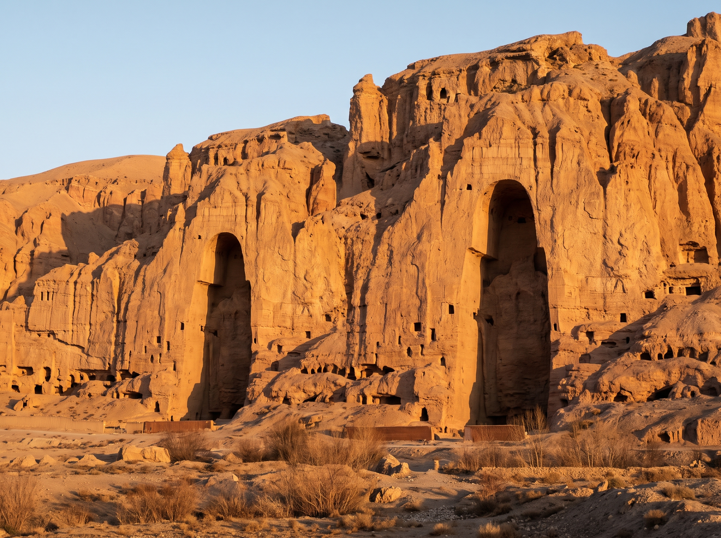
All roads led to Rome. Except they did not. They led to Ankara.
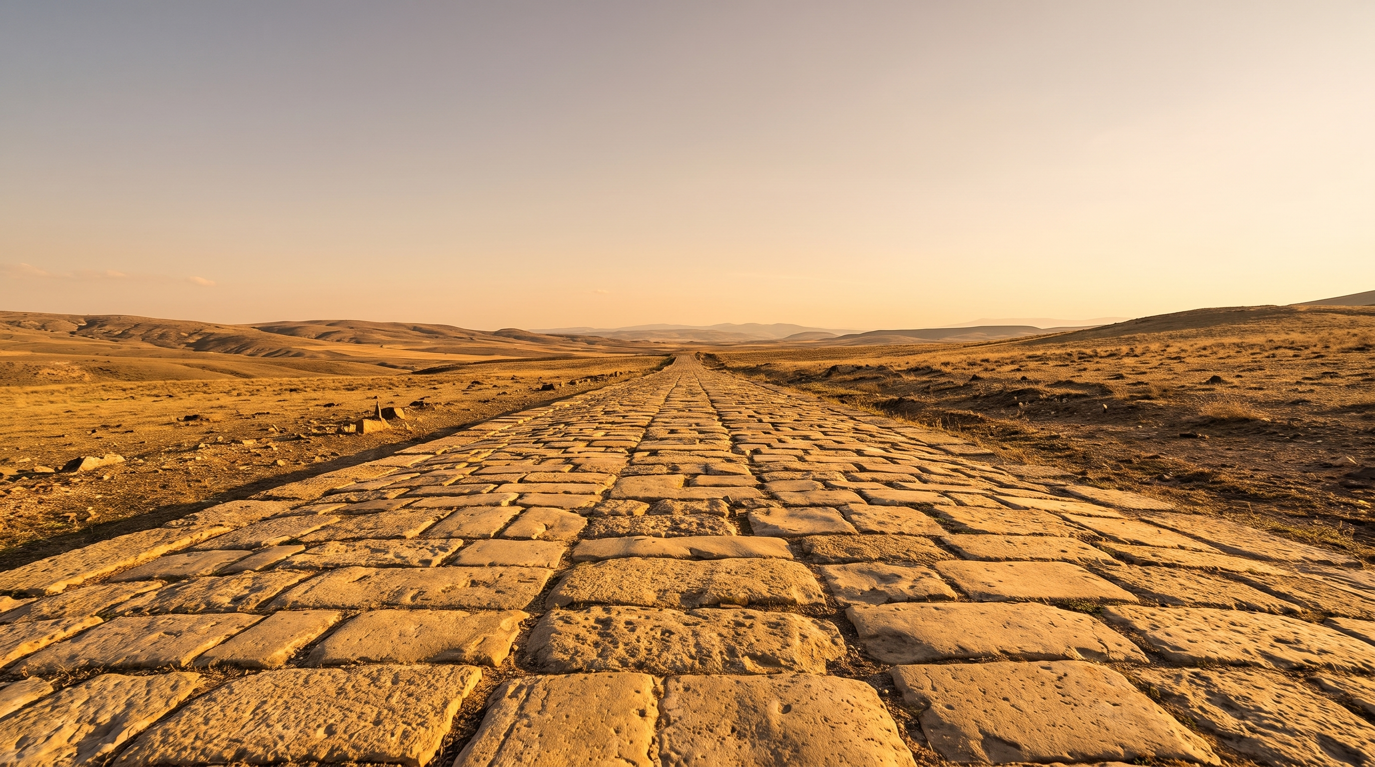
AI-generated illustration
Researchers mapped nearly every known Roman road, three hundred thousand kilometers of them, and the best connected city in the whole empire was not Rome at all, it was a city in modern day Turkey.
This article contains affiliate links. If you buy through them, we may earn a small commission at no extra cost to you.
Picture a courier in the year 150 AD, leaving the port of Antioch with a sealed message. He does not sail. He rides, changing horses at stone waystations, following a road so straight in places it looks drawn with a ruler. Around him, other travelers move the same way: soldiers, traders, tax collectors, all threading a stone network stretching from Britain to the Sahara. Nobody riding that road thinks of it as data. Two thousand years later, that is exactly what it became.
The biggest road map ever built
In November 2025, a team from the Universitat Autònoma de Barcelona and Aarhus University in Denmark, led by Pau de Soto, Adam Pažout and Tom Brughmans, published a digital atlas called Itiner-e. It traced roughly 299,000 kilometers of Roman roads, almost double the length of the most complete earlier digital map. Think of it as someone finally filling in the missing half of a giant jigsaw puzzle of the empire's highways. That map itself was not the twist, it was the tool. The real surprise came almost a year later, when researchers used that same map to ask a new question: which city was hardest to avoid if you actually had to travel by road? If maps like this fascinate you, this A.D. 107 map of the Roman Empire is a striking way to see the whole network at once.
So who was really in the middle?
Researchers ran a kind of traffic simulation over all 300,000 kilometers, measuring how often each city sat on the shortest path between two other places. Published in Nature Communications on 15 September 2026, the study found that Antioch, Ancyra, Byzantium and Corinth were all better positioned than Rome itself for empire wide land travel. Ancyra is modern day Ankara. It sat at the crossroads of Anatolia, the land bridge linking the Middle East to Europe, and Live Science reports it was "a vital transportation hub" for that whole region. It is a bit like discovering the busiest airport for connecting flights is not the capital everyone assumes, but a smaller hub sitting exactly between everywhere people need to go.
Not just one city
Enjoying this story?
Get a short teaser by email whenever we publish something new. No spam.
Here is where the story needs a little honesty. Ankara was not crowned the single number one city. Four cities beat Rome, and interestingly three of them, Antioch, Ancyra and Byzantium, sit in modern day Turkey. Some coverage singles out Byzantium (modern Istanbul) as especially important, since it was the only place where the road networks of Europe and Asia physically met. The paper itself does not rank the four against each other, it simply lists all of them as better placed than Rome. The fair way to say it is that Ankara was one of a small handful of surprise winners, not a lone champion.
The catch nobody should skip
This is a map of roads, and only roads. It does not count ships. Rome's real power leaned heavily on the sea, through its port at Ostia, sitting near the middle of Mediterranean shipping lanes that could move grain and goods faster than any wagon. One of the study's authors told Live Science that Rome's spot "on the nexus of major shipping lanes" probably made up for its so-so road position, maybe even more than made up for it. So the "all roads lead to Rome" saying was never really about roads alone, it was about Rome being the destination people cared about, however they got there.
Why this matters to you
Think about your own town. The place with the busiest train station is not always the place everyone considers the "center" of the region, and the place people talk about most is not always the one that is easiest to actually reach. The Romans built an empire on both kinds of importance, one measured by roads and one measured by water, and for two thousand years only the story of the roads to Rome got remembered. So here is the open question worth sitting with: if someone mapped every sea route the way researchers just mapped every road, would Rome finally reclaim the top spot, or would some other harbor town quietly beat it there too?
Sources
- Did 'all roads lead to Rome'? New study finds other cities in the empire were better connected | Live Science, https://www.livescience.com/archaeology/romans/did-all-roads-lead-to-rome-new-study-finds-other-cities-in-the-empire-were-better-connected
- Network science reveals the structure and lasting impact of the Roman road system | Nature Communications, https://www.nature.com/articles/s41467-026-75453-3
- Roman roads didn't all lead to Rome, study finds other cities were better connected | Archaeology News Online Magazine, https://archaeologymag.com/2026/09/roman-roads-didnt-all-lead-to-rome/
- Mapping the past: 300,000km of Roman roads charted in new digital project | Euronews, https://www.euronews.com/culture/2025/11/11/mapping-the-past-300000km-of-roman-roads-charted-in-new-digital-project